Trip notes · Arizona
Packrafting in Arizona
Arizona has little floatable water, and the best of it is closely regulated. These notes cover where a packraft fits, which permits apply and how the three trips compare.
Most of Arizona is dry, so the rivers that do run are famous, seasonal, or often both. A packraft's light weight helps here. You can carry one down a side canyon, lash it to a big raft as a scout boat, or keep it in the car for an afternoon on a dam-fed desert river. The permit systems on the state's big water apply to packrafts like any other boat, so check the managing agency and its paperwork first.
The three trips in this section
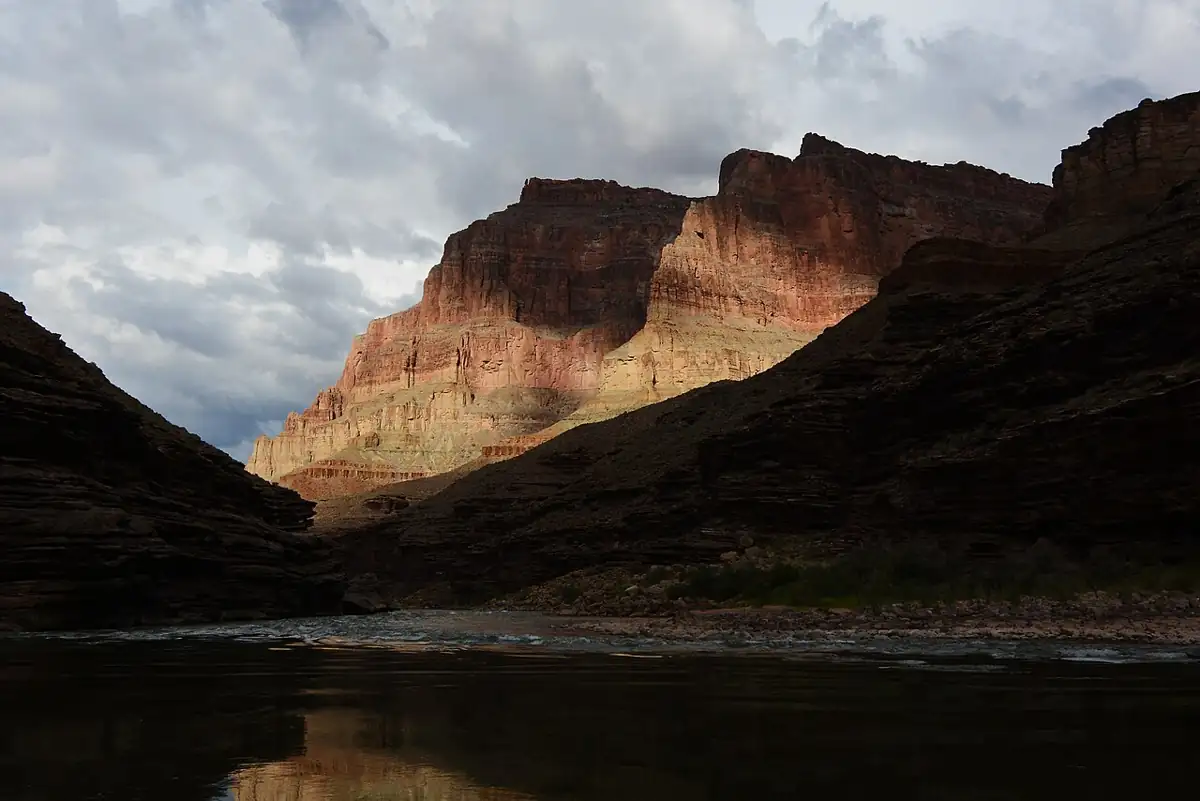
The Grand Canyon is the reason many paddlers learn to packraft at all, and it is also the most tightly controlled river trip in the country. A full run of the Colorado through the park needs a noncommercial river permit from the National Park Service, allocated through a weighted lottery each February, and packrafters usually take part as boats on a permitted raft trip. Short crossings and floats between hiking routes fall under a separate backcountry permit with a packraft designation and a strict cap on river miles. Both paths are explained on that page, along with a winter run and a long spring trip that used packrafts to explore side creeks.
Upstream of the Grand Canyon, the Glen Canyon reach below the dam is about fifteen miles of flat, clear, very cold water ending at Lees Ferry. It loops around Horseshoe Bend, and most people paddle it downstream after a motorboat shuttle up from the ferry. Every boat on that reach needs a free permit from the kiosk at the ramp. If you are comfortable on flatwater and dressed for water in the forties, it makes a good first big-canyon float.
Near Phoenix, the Lower Salt River runs below Saguaro Lake through saguaro desert in the Tonto National Forest. Dam releases set the flows, so it can be a lively Class I-II float in summer and too low to paddle in winter. Expect crowds of tubers on hot weekends and wild horses on the banks. There is no river permit, only a parking pass for the recreation sites.
Arizona trips compared
| Grand Canyon | Glen Canyon to Lees Ferry | Lower Salt | |
|---|---|---|---|
| Length | About 225 to 280 river miles | About 15 river miles | Up to about 12 river miles |
| Typical trip | 12 to 25 days with rafts, or a short hike-and-float | Half day to one night | One to six hours |
| Water | Big-volume rapids, very cold | Flatwater, very cold | Class I-II riffles, warm |
| Agency | NPS, Grand Canyon National Park | NPS, Glen Canyon NRA | USFS, Tonto National Forest |
| Paperwork | Lottery river permit or RABT backcountry permit | Free Lees Ferry permit, entrance fee | Tonto Pass for parking |
| Gauge | Colorado River at Lees Ferry | Colorado River at Lees Ferry | Salt River below Stewart Mountain Dam |
| Best for | Experienced whitewater packrafters | Confident flatwater paddlers | Beginners, dogs, short days |
Rules, fees and closures change; each trip page lists what to confirm before you go.
Choosing your first Arizona trip
If you are new to packrafting, start on the Lower Salt in late spring when the releases come up. It gives you moving water, eddies and a few strainers to steer around, with warm water if you swim. The packrafting primer covers what to learn before that first float.
If you have flatwater experience and want a canyon, Glen Canyon is the next step. The water has no rapids but is cold enough that a swim is an emergency, so dress for it and stay near shore when the afternoon wind comes up. It is also the best way to see the start of the Grand Canyon corridor without a lottery permit.
The Grand Canyon itself calls for solid whitewater skills and either the patience to work through the permit system or a seat on a friend's trip. Many packrafters spend a season or two on Class III rivers elsewhere, such as the Rogue's Wild Section, before committing to it.
How Arizona differs from other desert states
If you have paddled Utah's canyons, a few things will be familiar: sand, heat, flash floods in tributaries, and long shuttles. The difference is that all three of Arizona's main packraft waters sit below big dams. Releases set the flow, so the water can be cold in July and the level can change during the day. Learn to read the dam operator's release schedule along with the gauges. The basics are on the flows and gauges page.
Water from the bottom of Lake Powell is cold enough to incapacitate a swimmer within minutes, even when the air is above 100°F. Read cold-water safety before the Glen Canyon or Grand Canyon trips, and dress for the water temperature, not the weather.
Seasons at a glance
Spring is the best overall window. The Lower Salt releases rise, the canyon weather is mild and side creeks in the Grand Canyon are running. Summer is very hot on land, and from July monsoon storms bring flash floods to side canyons across the region. Fall is calm and quieter, with shorter days. Winter suits Grand Canyon trips for people who want solitude and can handle cold nights, while the Lower Salt often runs too low to float.
Heat is a hazard on every Arizona trip. Carry more drinking water than you expect to use, plan the hardest work for mornings, and use a packing list that includes sun protection and shade as well as warm layers.
Related reading
For comparison with neighboring states, see the Utah river notes and the Colorado trips. Canyoneers who want to combine rappels with a river float should read packrafting and canyoneering before trying the Waterholes approach mentioned on the Glen Canyon page. The full list of regions is on the trips overview.
Arizona trip pages
 01
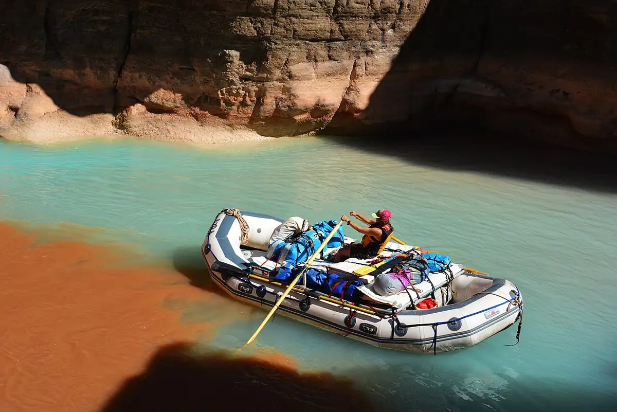
Packrafting the Grand Canyon
The two NPS permit paths, season and flows, gear for big cold water and two trip accounts from the Colorado through Grand Canyon.
 02
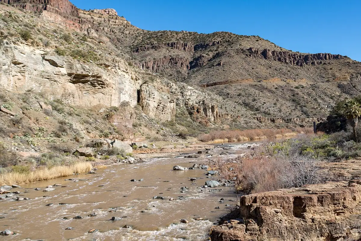
Lower Salt River
An easy, release-fed desert float east of Mesa with saguaros, wild horses and summer tubing crowds, plus access points and flow notes.
 03
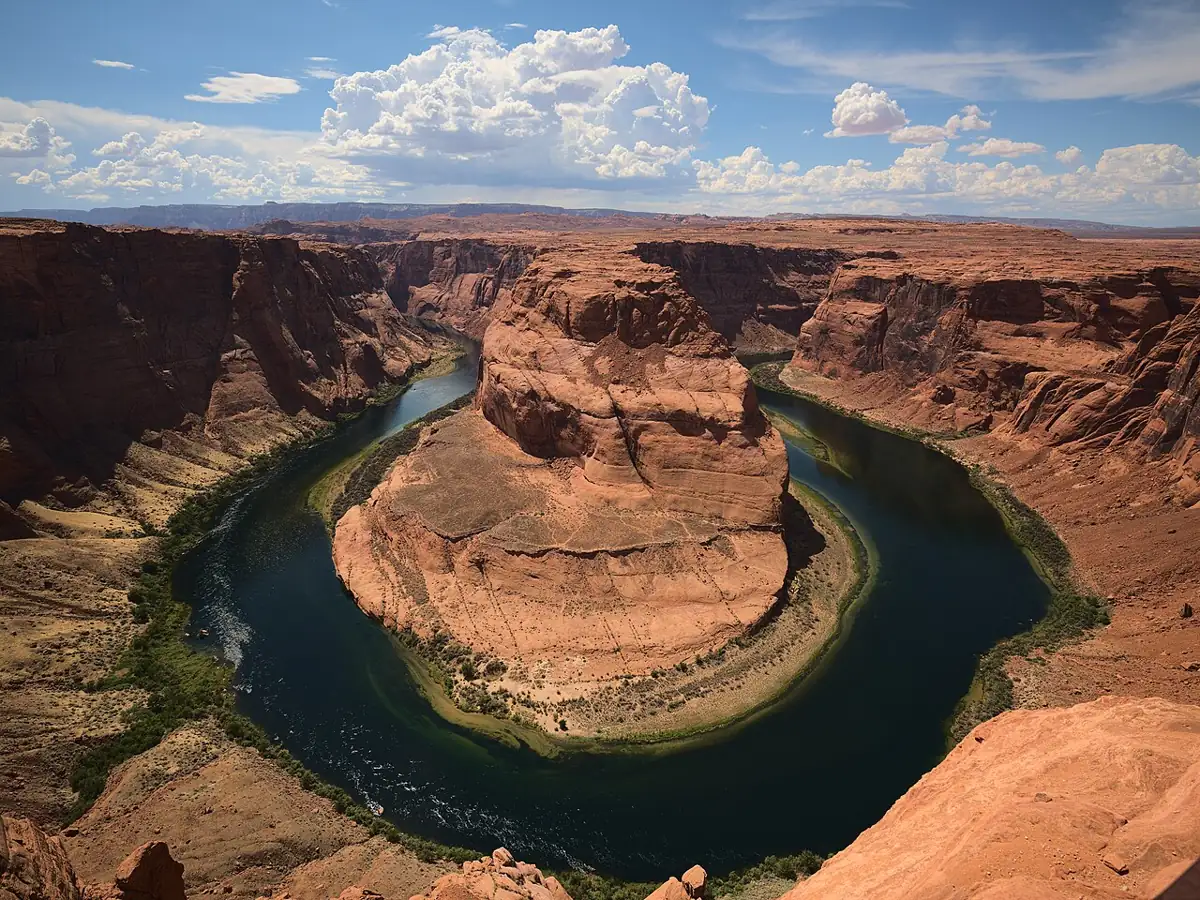
Glen Canyon to Lees Ferry
Fifteen miles of cold, clear flatwater past Horseshoe Bend, ending at the Grand Canyon launch ramp, with backhaul and permit notes.