Trip notes · Utah
Packrafting the San Juan River
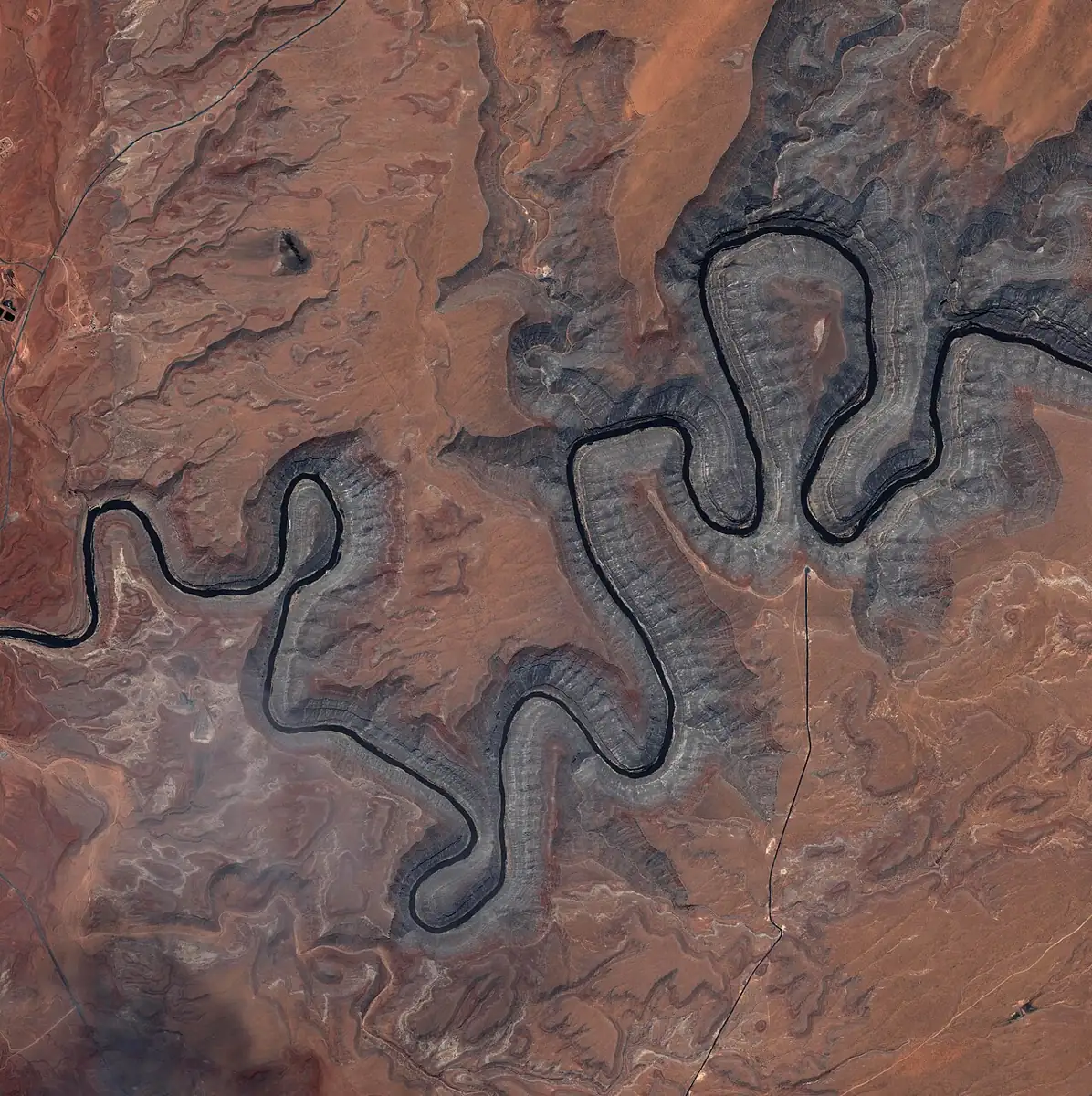
The San Juan cuts through the Goosenecks and a string of deep limestone canyons on its way to Lake Powell. Flows from Navajo Dam keep it floatable for much of the year, and most of its rapids are friendly to a loaded packraft.
Last checked November 2026
The San Juan starts in the San Juan Mountains of Colorado, passes through Navajo Reservoir in New Mexico and enters Utah near the Four Corners. The permitted river trip most people run goes from Sand Island, about three miles west of Bluff, to Clay Hills Crossing at the head of Lake Powell. Along the way it passes the Raplee anticline and the Goosenecks, and a lot of rock art sits within a short walk of the river. Most of the river is moving flatwater and Class II, which makes it a good first multi-day desert trip once you can handle wave trains and the odd rock garden.
A dam sets the base flow, so of the Utah rivers this is the easiest one to plan months ahead. In a year when the Escalante never runs and Labyrinth is a slow paddle against the wind, the San Juan usually still has a steady current.
The sections
| Section | Approx. miles | Typical days | Notes |
|---|---|---|---|
| Montezuma Creek to Sand Island | about 17 | 1 to 2 | Seldom floated, undeveloped launch, permit by phone only |
| Sand Island to Mexican Hat | about 27 | 2 to 3 | Rock art, ruins, Eight Foot and Ledge rapids |
| Mexican Hat to Clay Hills | about 57 | 4 to 5 | Goosenecks, Government Rapid, deeper canyon |
| Sand Island to Clay Hills | about 84 | 6 to 7 | The full trip |
The upper section is busier and has more cultural sites close to the river, including the large petroglyph panel near the Sand Island launch and cliff dwellings within a short walk of camps. The lower section is more remote. The Goosenecks meanders come near the start, followed by long, quiet canyon reaches. Clay Hills is the only practical take-out below Mexican Hat, and the BLM warns of a dangerous waterfall farther downstream, so do not plan to float past it.
Which section for a packraft?
For a long weekend, pick the upper section. The shuttle is short and the rapids are mild, so a lot of the trip ends up being walks to ruins and panels. The lower section is for groups who want several days of canyon with fewer people and can handle a long drive at the end. Its biggest rapid, Government, sits well down the canyon, and the slow, silty water near Clay Hills is a real paddle in a small boat.
Permits step by step
A BLM permit is required year-round for the river between Montezuma Creek and Clay Hills. The Bureau of Land Management Monticello Field Office runs the system, and launches from Sand Island and Mexican Hat are booked through Recreation.gov. The BLM San Juan River permit page has the current calendar.
- Decide your section and a few possible launch dates. The trip leader must be 18 or older.
- For launches from April 15 to July 15, enter the Recreation.gov lottery between December 1 and January 31.
- Results go out in mid-February. If you win, accept and pay by the deadline in mid-March.
- If you lose, try for leftover dates and cancellations when reservations open in mid-March.
- For launches from January 1 to April 14, book from December 1. Dates from July 16 onward open in mid-March.
- If you are taking out at Clay Hills, reserve one of the designated camps below Government Rapid right after you get the permit.
- Expect a pre-trip check-in with a river ranger about gear, camps and conditions.
Launches within five days of the trip, and anything on the Montezuma Creek section, go through the Monticello office by phone. Fees apply to trips launching from March through October; check the amounts when you book, since they change.
Required equipment
Under the 2024 stipulations, a packraft group must carry:
- a first-aid kit sized for the group, a repair kit for the boats and a pump
- a washable, leak-proof toilet system that is reachable during the day; engineered waste bags are accepted if all used bags ride in a hard-sided container with a screw-on or ratchet lid
- a metal fire pan at least 12 inches across with a 1.5-inch lip, carried on all overnight trips even if you only cook on a stove
- a Type I, III or V whitewater-rated PFD for each person; inflatable life jackets are not allowed
- one spare paddle for every three packrafts
Packrafts do not need a bail bucket, and the throw-device and whistle rules apply only to boats 16 feet or longer. Group size is capped at 25, groups must launch, travel and camp together, and drones are not allowed. Everyone 13 and older must wear a PFD on the water until below Slickhorn Rapid, and children under 13 wear one the whole way.
Flows and season
Releases from Navajo Dam set the base flow, so the San Juan rarely gets too low to float. The Animas joins below the dam and adds snowmelt, and peak flows usually come in late May and early June. Check USGS gauge 09379500, San Juan River near Bluff, and read how flows and gauges work if the numbers are new to you. Upstream storms and dam releases can change the level in a few hours, so tie boats securely at camp.
April through June and September through October are the comfortable months. Midsummer heat is intense, and monsoon storms can turn side drainages into flash floods and the river into a red, debris-filled current. Winter trips are possible with a permit and good cold-weather gear, but the canyon gets little sun.
| Flow | What it means in a packraft |
|---|---|
| Low (dry year, late season) | Rockier rapids, more mud bars from Slickhorn to Clay Hills, slow lower miles |
| Moderate | Friendly wave trains, easy camps, steady current |
| High (spring peak) | Faster, pushier rapids, bigger sand waves, fewer beaches |
Rapids and hazards
Government Rapid on the lower section is the one most groups scout. The BLM rates the river Class II to III and notes that Government often needs scouting and careful moves. It is a rocky drop at many flows, and packrafters often walk it or line it. Ledge and Eight Foot rapids on the upper section are easier, though a heavily loaded boat can still get knocked around. Read the river difficulty classes page for what those labels mean in a small boat, and brush up on reading whitewater before you scout.
Other hazards:
- Sand waves, which build and break in fast silty water, can flip a short boat without warning.
- Silt clogs filters quickly. Bring all your drinking water if you can; the BLM suggests at least a gallon per person per day.
- Near Clay Hills, the lake delta has left deep mud and shifting channels, and the take-out has moved over the years. Ask the BLM about current conditions.
- Summer afternoons in the canyon are very hot, and you will find little shade at midday.
- Cell service is unreliable. Carry a satellite messenger.
Shuttles and access
Sand Island has a ramp, toilets, water and a first-come campground, which makes it an easy place to rig the night before. The shuttle from Sand Island to Mexican Hat takes about an hour round trip. Shuttles from either launch to Clay Hills take four to five hours round trip on long roads, and few companies run them, so book early. The BLM advises against leaving vehicles overnight at the Mexican Hat launch because of break-ins; local businesses store cars for a fee. Clay Hills has a toilet but no trash service, so everything goes home with you.
Camping
Camp on sand or benches above the high-water line, on river right unless you hold a Navajo permit. Camping in cultural sites is prohibited, and the Butler Wash petroglyph site near mile 4.7 is closed to overnight use. Below Government Rapid, camping is limited to nine designated sites that must be reserved. Fires go in a fire pan, use only driftwood, and the ash goes out with you. The Leave No Trace basics matter more here than on most rivers because of the ruins and rock art. Take photos, and keep your hands and feet off walls, panels and structures.
Packraft notes
A whitewater packraft with thigh straps is comfortable here, but a touring boat with a spray deck also works if you are willing to walk Government. A self-bailing packraft drains the occasional wave and helps in the heat, though it adds drag on the slow lower miles. Upstream afternoon wind is common in the open canyon reaches. Pets are banned on the whole permitted stretch, so this is not a trip for packrafting with a dog.
Who the San Juan suits
The upper section suits paddlers with some moving-water experience who want their first permit trip with rapids. The full Sand Island to Clay Hills run suits confident Class II packrafters who can self-rescue with a loaded boat and are happy to portage the one rapid that matters. It is also a good choice when spring snowmelt has failed and other Utah rivers are too low.
For other Utah canyon floats, start at the Utah trips page. Labyrinth Canyon is an easier flatwater option with a simpler permit, and Desolation and Gray Canyons is the next step up in length and whitewater.
San Juan questions
How hard is it to get a San Juan permit?
Spring and early summer dates go through a lottery and are competitive. Shoulder-season and midweek dates, and leftovers released in mid-March, are much easier to get.
Can I run Government Rapid in a packraft?
Many packrafters do at moderate flows, but it is rocky and changes with water level. Scout it, and walk or line it if you are unsure.
Can I use waste bags instead of a full river toilet?
The stipulations accept engineered bag systems as long as all used bags travel in a hard-sided, leak-proof container with a locking lid.
Can I camp on the left bank?
Only with a Navajo Nation permit, and some river-left areas near Eight Foot and Ledge rapids are closed to camping for bighorn sheep.
Where do I get drinking water?
Bring it. There are no reliable potable sources on the river, and the water is so silty that filtering is slow.